


BC HighwayCams - Highway 3A
Please note all BC HwyCams use Pacific Time Zone (PT).
 Attention motorists:
Spring weather can make highway conditions in B.C. unpredictable, particularly through high mountain passes. Please be prepared and be aware that winter tires and chains may still be needed.
Winter tires or chains are required on most routes in British Columbia from October 1 to April 30. For select highways not located through mountain passes and/or high snowfall areas, tire and chain requirements end March 31. These routes are marked with regulatory signs posted on highways throughout the province. We reserve the right to restrict travel at any time of the year depending on road conditions.
Click for more information
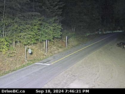 |
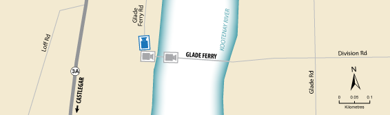
Glade Ferry Terminal - N
Highway 3A at Glade Ferry Road, looking north at west side ferry line up. (elevation: 453 metres) |
||
Weather Forecast (from Environment Canada)All weather stations (current weather) for this region (map) |
|||
|
|||
 Glade Ferry Terminal - N Highway 3A at Glade Ferry Road, looking north at west side ferry line up. |  Glade Ferry Terminal - W Highway 3A at Glade Ferry Road, looking at ferry landing on west side of river. |  Glade Ferry Terminal - E Highway 3A at Glade Ferry Road, looking at ferry landing on east side of river. |  Harrop Ferry Landing Harrop Ferry Landing on the south side of Kootenay Lake, looking north. |
 Harrop Ferry Landing North View Harrop Ferry Landing on south side of Kootenay Lake, looking at the north side landing. |  Harrop Ferry North Landing Harrop Ferry Landing northbound line-up, looking south. |  Balfour Ferry Approach - NE Highway 3A and Highway 31 at Balfour ferry terminal entrance near Ferry Landing Road, looking northeast. |  Balfour Ferry Busk Road Parking Highway 3A and Highway 31 at Busk Road near the Balfour ferry terminal, looking at ferry parking lot. |
 Balfour Ferry Approach - SW Highway 3A and Highway 31 at Balfour ferry terminal entrance of Ferry Landing Road, looking southwest. |  Balfour Ferry Terminal Balfour ferry terminal, looking north towards Highway 3A. |  Balfour Ferry Ramp Balfour ferry terminal, looking south at ferry loading ramp. |  Kootenay Bay Ferry Landing Highway 3A at Kootenay Bay Ferry Landing, looking northeast. |
 Kootenay Bay Ferry Ramp Highway 3A at Kootenay Bay Ferry Landing, looking southwest. |  Sanca Creek Highway 3A about 1.6 km south of Sanca Creek Bridge, looking south. |
||
